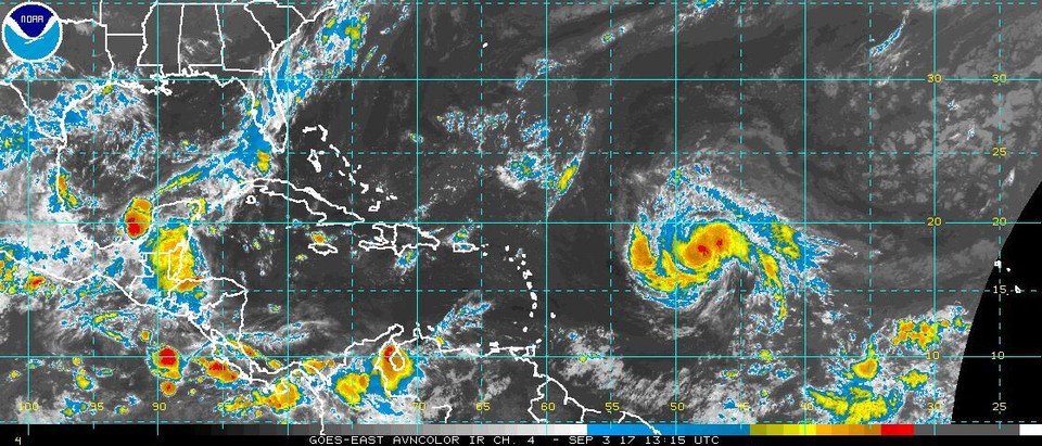
EYE ON IRMA
Despite its shifting strengths, Irma is expected by forecasters to be a very powerful storm. Previously, the National Hurricane Center has said models show Irma may grow into "an extremely dangerous category 4 hurricane."
In an advisory issued at 4 a.m. Sunday, the hurricane center warming seas and moistening skies should allow Irma to strengthen over the next 72 hours, with "a park in intensity" possible on Tuesday.
Where Irma may go
In its 4 a.m. advisory, the Hurricane Center said Irma was "likely to continue" following its west-southwest trajectory over the next 36 hours. Then, modeling shows Irma turning northwest.
Why Irma's path is uncertain
When Irma makes that turn northwest could mean the difference between peeling away into the Atlantic Ocean, or taking aim at land masses in the Caribbean and on the U.S. East Coast. Jeff Weber, a meteorologist at the University Corp. for Atmospheric Research in Colorado, said Friday that Irma was tracking along the bottom of a high-pressure zone known as the "Bermuda high."
Irma's ultimate path appears dependent on how long the Bermuda high keeps the storm to the south before allowing Irma to veer northwest, Weber said Friday. And how long the Bermuda high holds its position appears dependent on how the high interacts with a jet stream issuing from the Pacific Ocean and steering east across the top of North America.
The busy hurricane season continues
Irma and the tropical wave off Africa both figure into a 2017 hurricane season that forecasters predicted will be busier than normal. The National Oceanic And Atmospheric Administration's season outlook estimates between 14 and 19 named storms could form this year. Irma marks the ninth named storm this year.